Advanced Travel Planning for Crete
Why Distances in Crete Are Misleading
Crete is long, mountainous, and divided by natural barriers. Straight-line distances hide winding roads, elevation changes, and limited highway coverage.
Understanding Real Driving Times
A short distance on the map can take hours to drive. Coastal highways move faster, but inland routes and mountain crossings slow travel significantly.
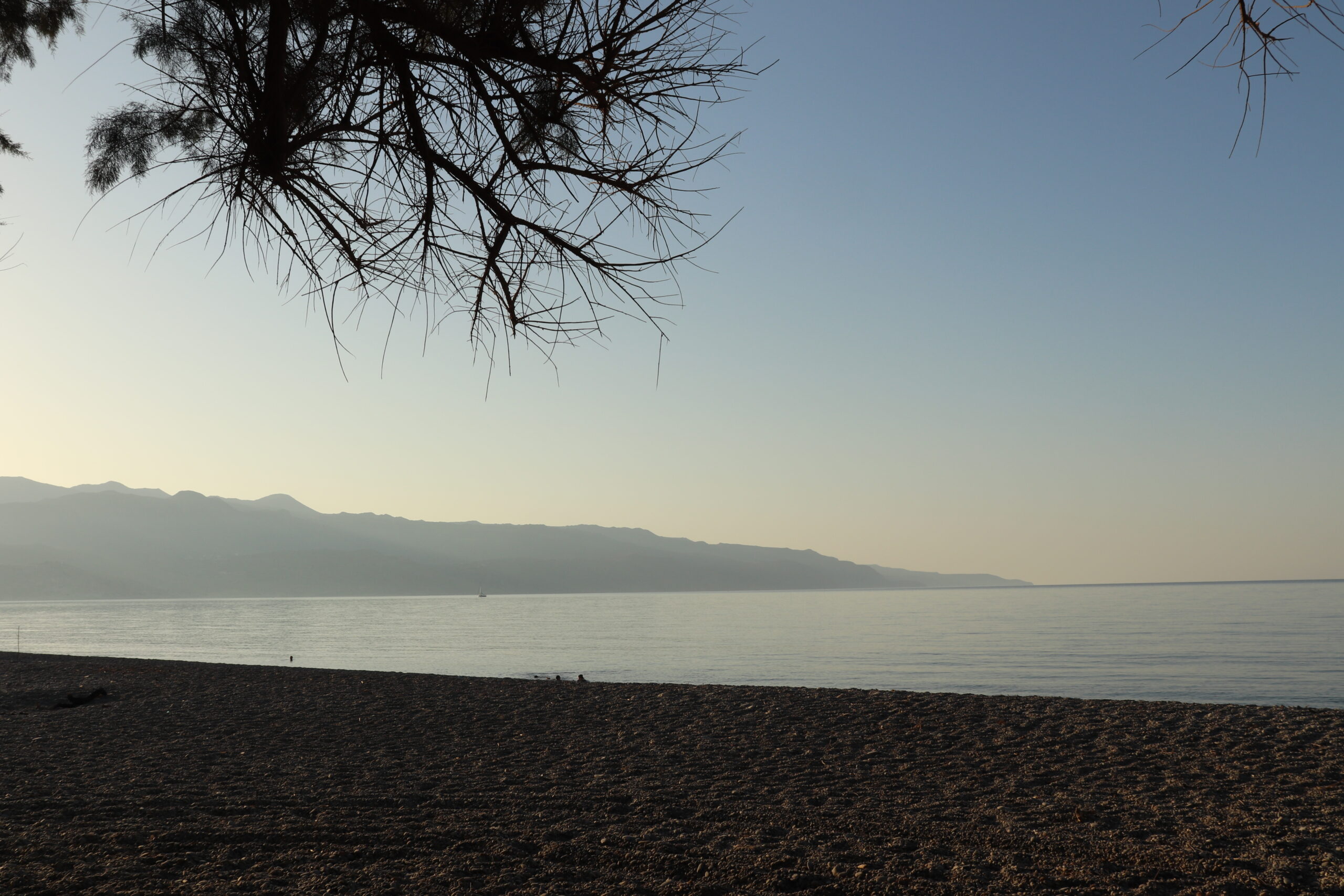
North Coast vs South Coast Travel
The north coast is better connected and easier to navigate. The south coast is rugged, scenic, and slower, with fewer direct routes between areas.
East–West Travel Across the Island
Crossing Crete from west to east is time-consuming. Even with highways, long drives reduce usable sightseeing time and increase fatigue.
Mountain Roads and Seasonal Limits
Mountain passes are narrow and slow. In summer, heat increases fatigue; in winter, weather and closures affect safety and access.
Common Logistics Mistake: Overpacked Days
Many itineraries assume multiple distant stops in one day. This leads to rushed visits, skipped plans, or late arrivals.
Another Mistake: Choosing the Wrong Base
Logistics problems often start with accommodation location. A cheap or attractive hotel can create long daily drives if poorly positioned.
Driving Fatigue Is the Hidden Cost
Time behind the wheel reduces enjoyment. Experienced travelers plan fewer transfers and allow buffer time for delays and stops.
Logistics Should Shape the Itinerary
Instead of fitting logistics around attractions, successful trips reverse the process. Realistic travel times create better days and fewer regrets.