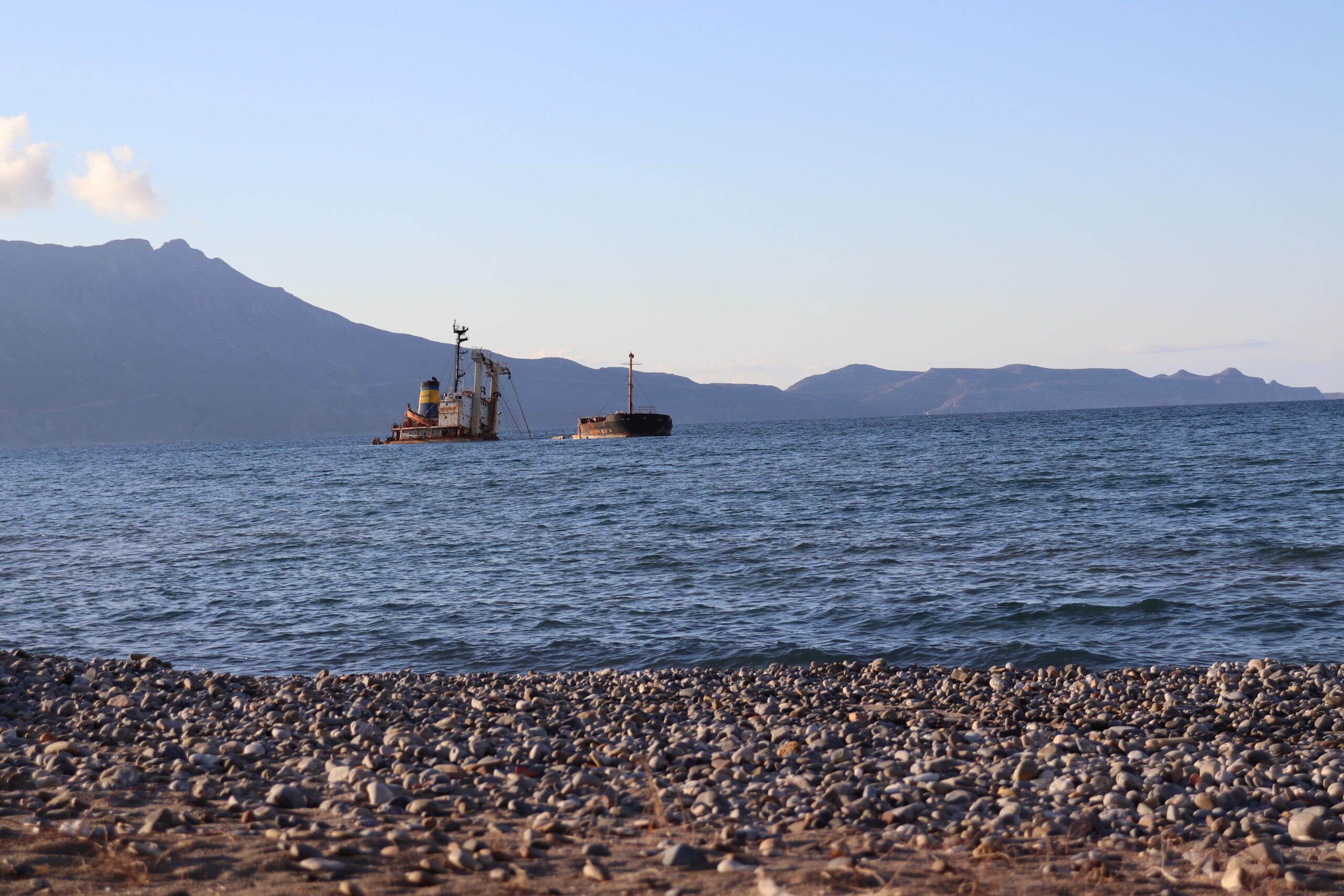
The southern coastline of Lasithi faces the open Libyan Sea and feels fundamentally different from northern Crete. Beaches here are longer, more spacious, and far less structured. Development is limited, horizons are wider, and the rhythm is slower.
This guide structures the coastline logically from west to east, helping you choose the correct beach cluster based on sand type, exposure, infrastructure, and access.
Myrtos: Compact and Intimate
Myrtos is a small seaside village where accommodation, tavernas, and beach are concentrated in one walkable zone. The shoreline consists mainly of fine grey pebbles. Water depth increases relatively quickly, which keeps the sea exceptionally clear.
This area suits travelers who prefer proximity and simplicity over wide sandy expanses. The atmosphere is calm and low-density.
Koutsounari & Long Beach: Open Space
East of Ierapetra, the coastline opens dramatically. Long Beach (often associated with Koutsounari) stretches for several kilometers.
The surface is a mix of dark sand and small pebbles. Organization is partial and spread out. Even in high season, visitor density remains lower than on the north coast.
This section suits travelers who prioritize space and visual openness.
Agia Fotia: Defined Bay Setting
Agia Fotia is a smaller curved bay enclosed by rocky formations. Compared to the open Ierapetra coastline, it feels structured and visually contained.
Facilities are moderate — sunbeds and tavernas — but without resort-level commercialization.
Makry Gialos Cluster: The Family Zone
Makry Gialos offers the softest sand and the most gradual water entry on the south coast. The main beach is organized and easy to access.
Moving east toward Lagoufa and Diaskari reduces density and infrastructure, creating a gradual transition from structured to semi-wild shoreline.
This cluster is the most suitable for families with children.
Xerokampos: Remote and Visual
Xerokampos is the eastern highlight of South Lasithi. Wide sandy bays, turquoise water, and minimal development define the landscape.
Access requires mountain driving. Infrastructure remains limited to small tavernas and basic accommodation.
This area suits travelers prioritizing isolation and scenery over convenience.
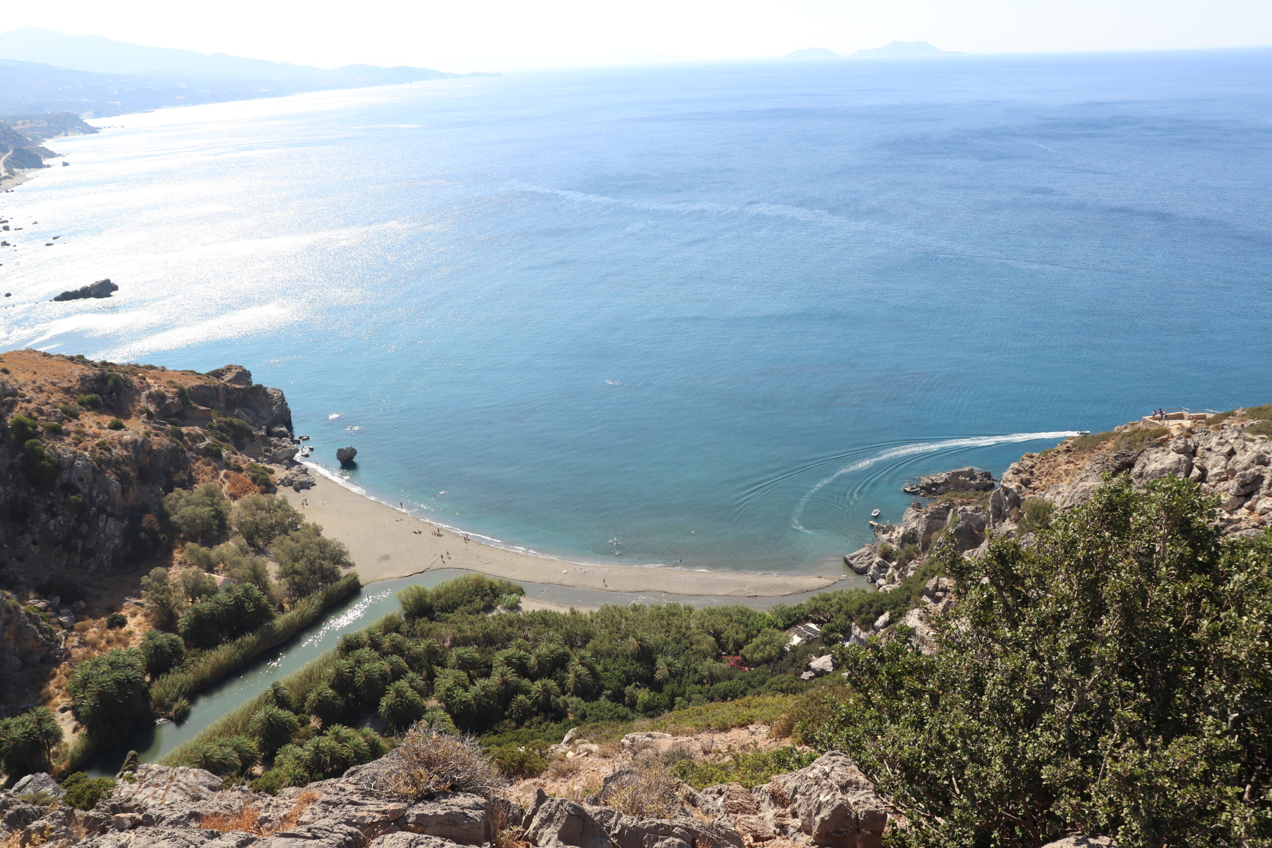
Kato Zakros: History and Swimming
Kato Zakros combines archaeological interest with a pebble shoreline. Located near the exit of Zakros Gorge and the Minoan palace ruins, it allows visitors to combine hiking, history, and swimming in one location.
Wind Exposure & Sea Conditions
The Libyan Sea is open and more exposed than northern bays. Wind direction significantly affects comfort.
On strong north wind days, some southern beaches remain calmer than the north coast. However, wide open stretches such as Long Beach react more visibly to wind.
Sand vs Pebble Overview
- Soft sand → Makry Gialos, Xerokampos
- Mixed surface → Koutsounari
- Pebble → Myrtos, Kato Zakros
Organization Spectrum
- Most organized → Makry Gialos
- Moderate → Myrtos, Agia Fotia
- Minimal → Xerokampos
Access Reality
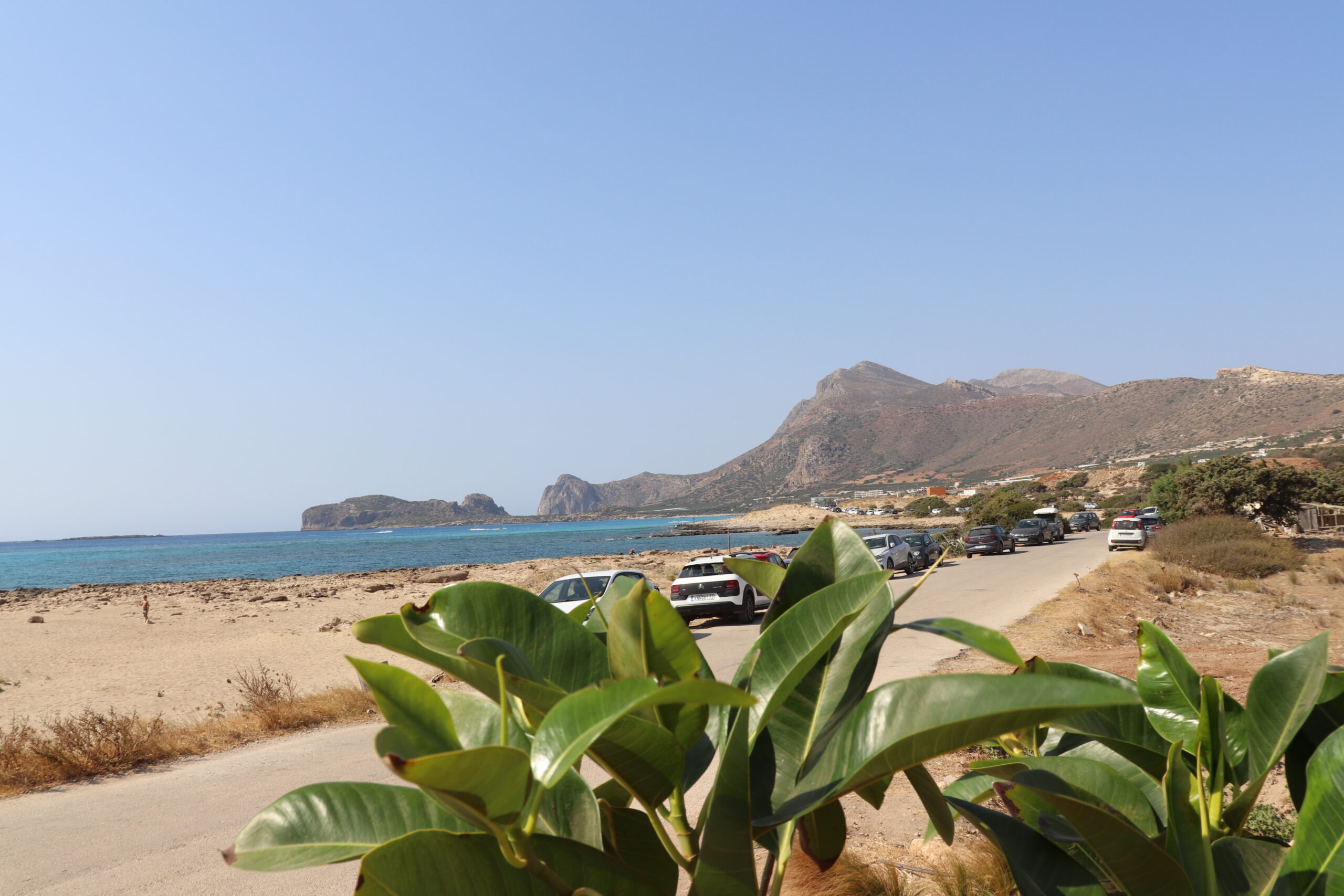
A car is essential to experience multiple beach clusters efficiently. Distances between Myrtos, Makry Gialos, and Xerokampos are longer than they appear on a map.
Final Orientation
South Lasithi does not offer one “best” beach. It offers distinct coastal personalities distributed across distance.
The correct choice depends on:
- Surface preference
- Wind tolerance
- Infrastructure needs
- Driving comfort
The Libyan Sea coastline rewards realistic expectations and geographic discipline.